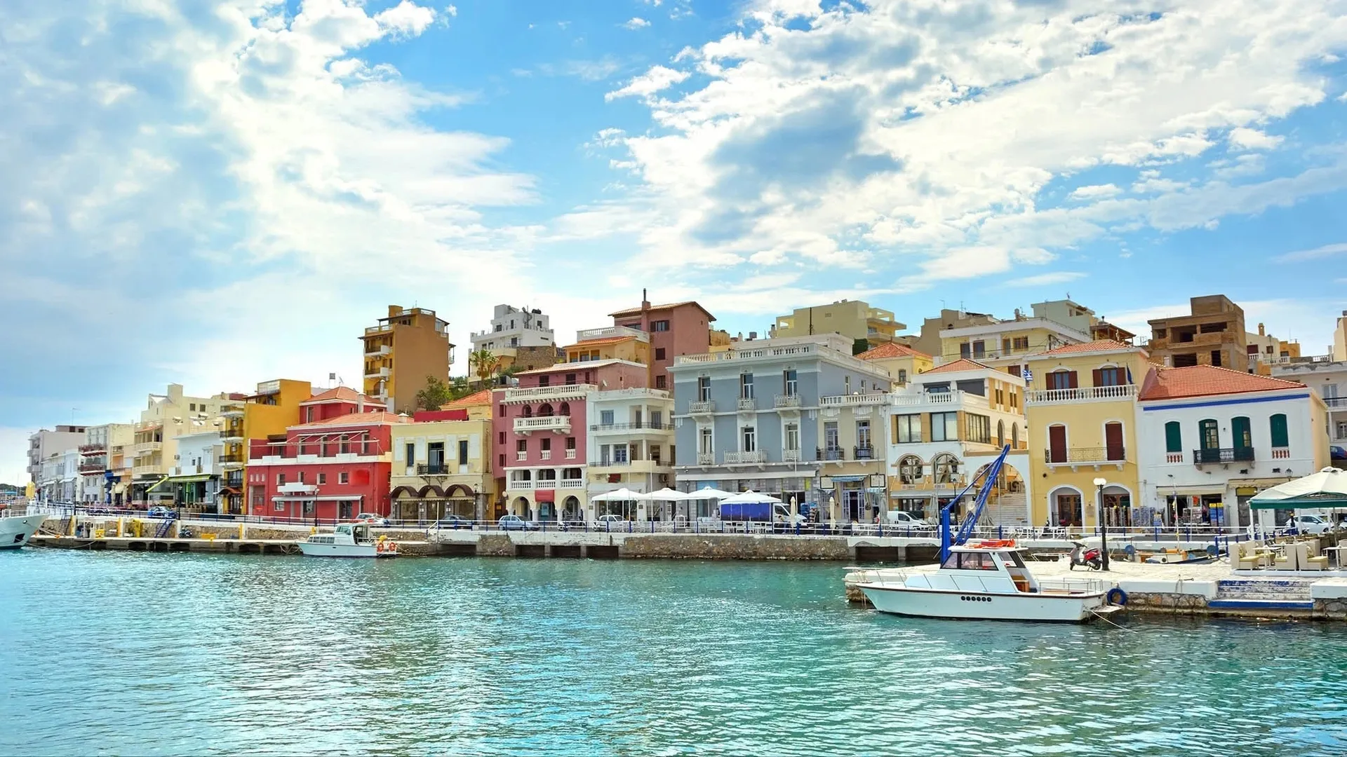
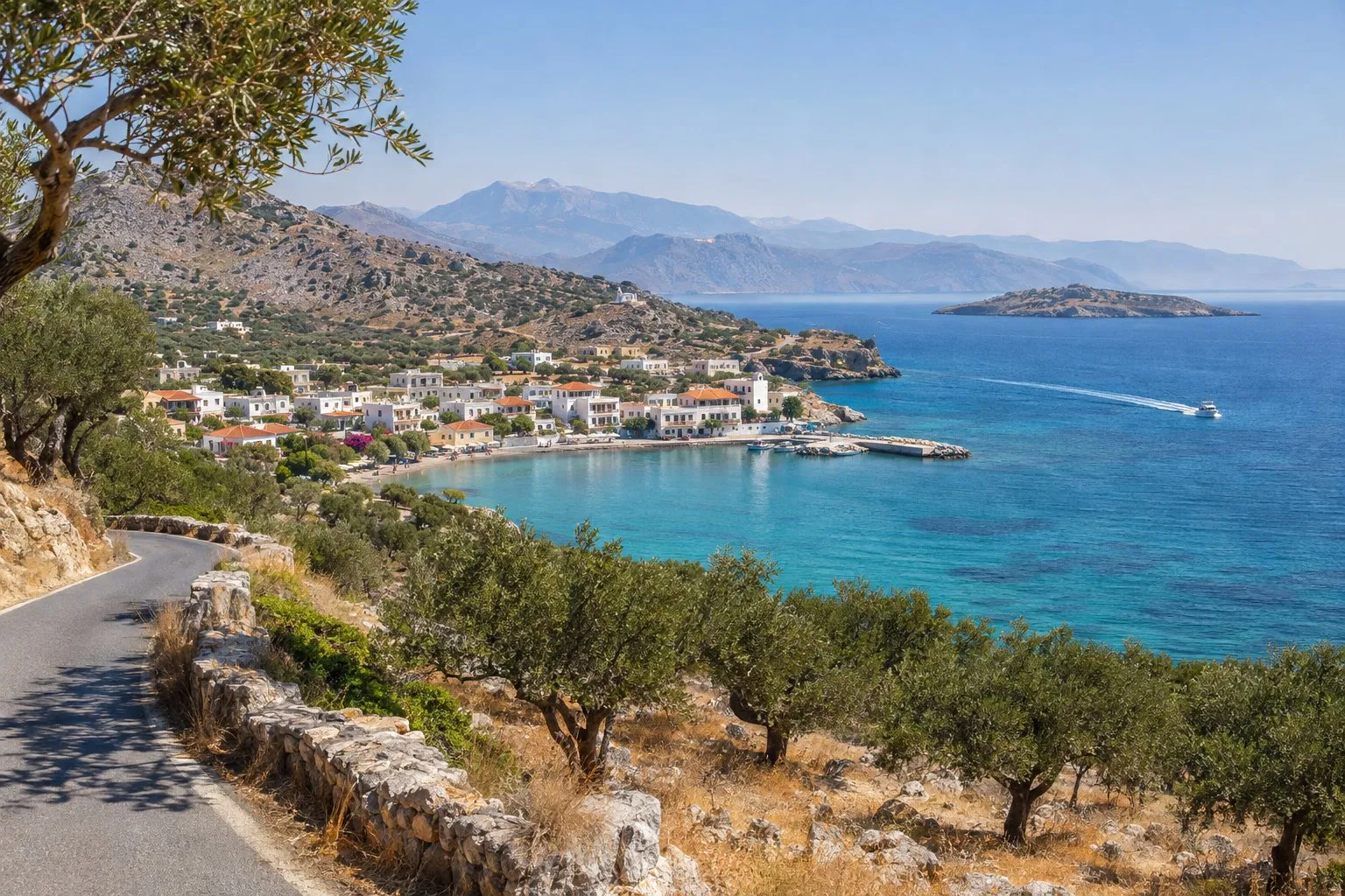
Driving routes from Agios Nikolaos for a half-day getaway
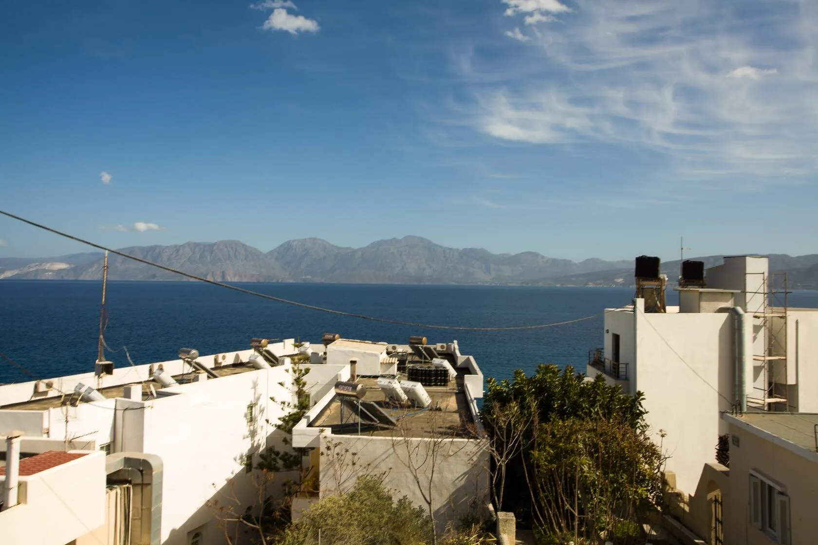
One of the advantages of staying in Agios Nikolaos is that so much is close by. With a rental car you can set off in the morning, see a village, an archaeological site or a different beach, and be back for lunch or to spend the afternoon at Kitroplatia beach, a one-minute walk from our pension. Here are four routes of between two and four hours that we often recommend.
Before you set off
- Parking. Next to the harbour, 3 minutes’ walk from the pension (200 m), there is a large free public car park, handy for leaving the car when you get back.
- Fuel. Fill the tank in Agios Nikolaos or on the main road. In the mountain villages petrol stations are scarce.
- Roads. The main ones are in good condition, but the minor roads can be narrow, with tight bends, little protection at the side and, sometimes, goats on the carriageway. Drive without hurrying and avoid mountain roads at night if you do not know them.
- Heat. In summer, open-air archaeological sites are far more enjoyable first thing in the morning or at the end of the afternoon. Opening hours change with the season, so check them beforehand online or at the site itself.
- Signs. On the main roads they are usually in both Greek and Latin letters, but have the map downloaded on your phone in case the signal fails.
1. Elounda and Plaka along the coast (2-3 hours)
This is the simplest route and one of the prettiest. The road heads north along the coast and, as it drops towards Elounda, the view opens out over its bay. Elounda is about 23 minutes away by car (15 km).
It is worth going to the isthmus that joins Elounda to the Kolokitha peninsula. There you can see the old salt pans, of Venetian origin and in use until the 1970s, some old stone windmills without sails and, beside the shore, remains of the ancient city of Olous, partly underwater.
About 5 km further north is Plaka, a fishing village right opposite the island of Spinalonga. Boats to the island leave from Elounda and Plaka, in case you want to extend the outing. In summer, parking in Plaka can be a bit tricky, so it is best to go early. You will find more details in our article on Elounda and Plaka.
2. Kritsa and ancient Lato (2-3 hours)
Kritsa is about 10 km inland, on the mountainside, with views towards Mirabello Bay. Just before you reach the village, beside the road, is the church of Panagia Kera, with Byzantine frescoes from the 13th and 14th centuries among the best preserved in Crete.
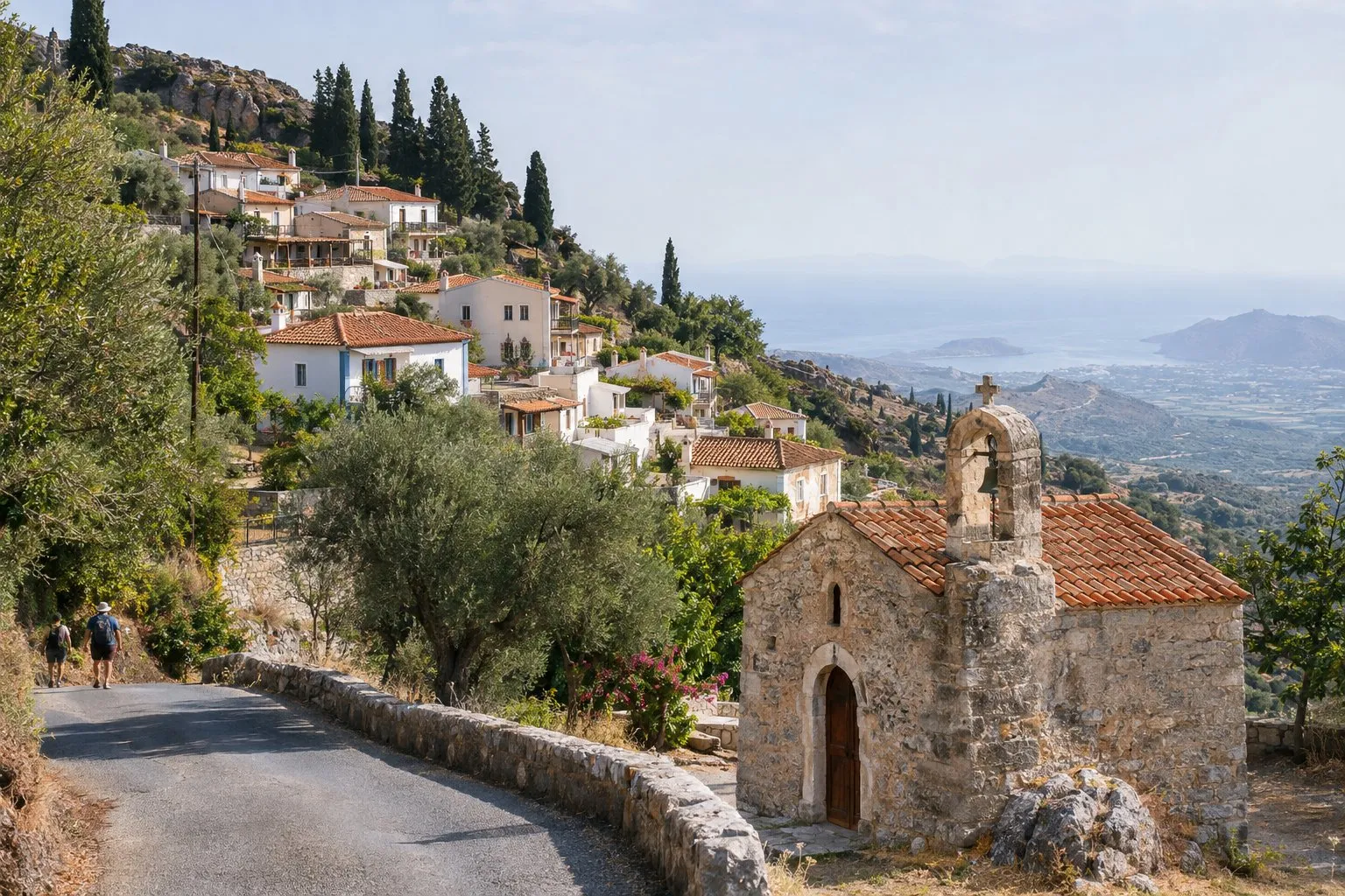
In Kritsa the best thing is to leave the car at the entrance and walk up its steep streets. The village is known for its traditional textiles and embroidery. From there, a signposted road leads in about 3-4 km to Lato, an ancient city from a period after the Minoan, built in terraces on a hill. The site is small, has little shade and offers good views over the landscape that runs down to the sea. We tell you about it at more leisure in Kritsa and its surroundings.
3. The coast towards Istro and Gournia (2-4 hours)
This route follows the road that skirts Mirabello Bay to the east. After passing Kalo Chorio, about 12 km from Agios Nikolaos, you will reach Istro, with several beaches; the best known is Voulisma, with sand and very clear water. You will find more ideas for a swim in the beaches of Agios Nikolaos.
A few kilometres further on, about 19 km from Agios Nikolaos, is Gournia, the remains of a Minoan town on a hillside, with its cobbled streets, houses and a small palace. It is one of the best-preserved Minoan settlements in Crete and can be seen comfortably in an hour. Bring water and a hat: there is no shade.
A good way to organise it is to see Gournia early and finish the morning with a swim at Istro on the way back.
4. Ierapetra and the south coast (3-4 hours)
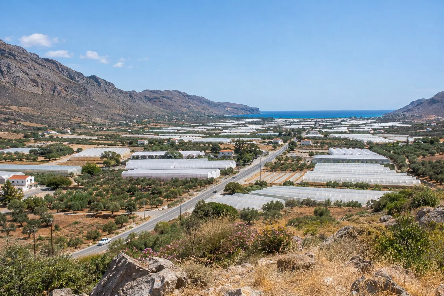
Ierapetra is about 36 km away, a little over 40 minutes by car. The road follows the coast eastwards and, at Pachia Ammos, turns south to cross the Isthmus of Ierapetra, the narrowest part of the island: in little more than a dozen kilometres you pass from the Cretan Sea to the Libyan Sea. In the area you will see many greenhouses, one of the main activities of the region.
In Ierapetra you can stroll along the seafront promenade and through the old quarter, with its narrow alleys, and head to the Kales fortress, of Venetian origin, beside the old harbour. In season, boats to Chrissi Island leave from here, although that is already a full-day excursion; check departures at the harbour or online.
How to choose
- A relaxed morning by the sea: Elounda and Plaka.
- Village, Byzantine church and a bit of history: Kritsa and Lato.
- Archaeology and a swim on the same outing: Istro and Gournia.
- A change of sea and a different town: Ierapetra.
If you fancy a longer excursion inland, the Lasithi Plateau takes up a whole day. On our distance map you can see what is within walking distance of the pension and what is best done by car.
For any of these routes, the plan that works best is to set off early, take water and something warm if you are heading into the mountains, and leave the car in the harbour car park when you return. That leaves the afternoon free for the beach or a stroll around the centre.